install weather plug-in for Iganga (or Jinja) Uganda ?
UGANDA STATISTICS
- 1 of 5 children are full orphans
- UGANDA is the EPI-Center of AIDS
- 70% of widows have HIV / AIDS
- 50% of Uganda’s population is under 15 years old!
- Estimated up to 50,000 children have been abducted by LRA and forced to kill and be sex-slaves
- 1 in 7.5 children under 5 yrs. Die

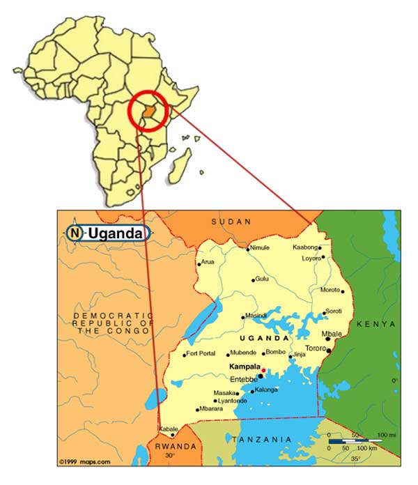
OUR VILLAGE in East Uganda: LUUKA / BUSOGA TRIBAL AREA (Uganda bureau of Statistics) google map coordinates: 00 42N, 33 18E
- Overall, more people in northern Uganda live below the poverty line (64.8%) followed by eastern region at 38.4%.Central Uganda has 19.6%, while western has 19.3% poor people.
- poverty density in Busoga region, range from 27% to 62%. The highest rates are in Luuka (Iganga District) (62%)
- (Poverty density is the number of poor people (those living on less than a dollar a day) per square kilometer in a sub-county.
- this area has continued to show little or no progress in terms of poverty reduction over the past 15 years.
- There is a link between poverty and the incidence of dysentery and malaria. The more rampant the diseases are, the poorer the region is.Dysentery normally results from lack of access to clean water and poor sanitation.
- Luuka County has a population of over 250,000 people, an extremely high fertility rate, with only 2 health Centers at the Sub county level, and no single hospital .
- On education, this report found that the wealthier central and western regions had lower pupil-teacher ratios while they were higher in the north and eastern regions.

